Model Master
Exon Tech ltd
Home
As Built
Design
Services
Deliverables
Exon Tech have designed a Georeferenced Database. From this points can be selected quickly and easily and written into a variety of programs. It uses as its source ascii files that are generated by the software supplied by scanner manufacturers. This allows us to run a binary file with 60% complession over conventional binary structures. The database can be used in many ways. and lends itself to modelling as points can be selected with great accuracy and speed. The database Also allows total immersion of solids in the point cloud. some modelling solutions model from "Bubble View" this is open to many errors. Bubble views do look good as the viewpoint is the same as the receiving point of the scanner. however this can mask errors with noise and registration that can cause problems with alignment of solds efficiency and Auality control.
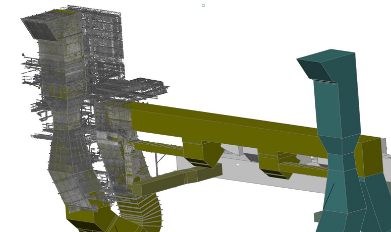
Our preferred method is total immersion of the solid in points, and only those points that are required. from these the modeller can make judgements orbit his solids and points together to check the fit and instantly see any issues with registration, noise and other point cloud related issues.
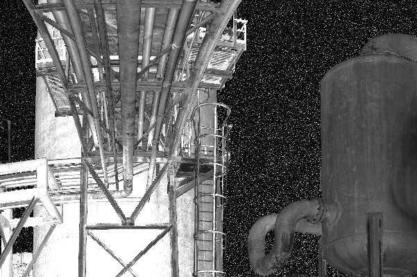
with total immersion the client can see the true fit of the solid, he can see registration errors and he can see the alignment accuracy. also details not modelled can be bought into the model. the figure above shows cladding that was outside the modelling scope.
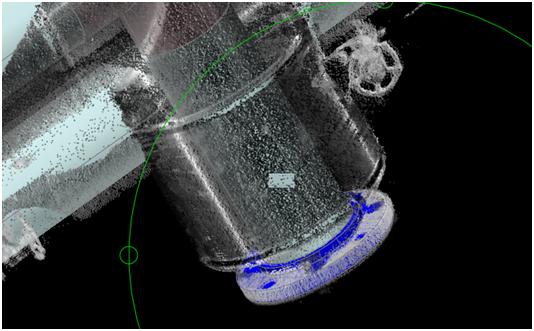
The scan is only known to be good after the modelling process is complete. the above image is a section through a pipe in what is considered a reasonable scan. what does the modeller model to? what would an automatic system model to? this would not be seen in a bubble view - the client needs a non-conformance report. we have in place non-conformance procedures to highlight errors that usually go undetected. Depending on the services supplied the client will receive a copy of the georeferenced database to give them the flexibility to check the modelling and also to add value to the model by viewing features not in the modelling scope of supply.
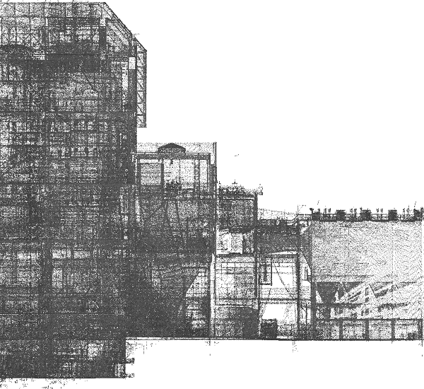
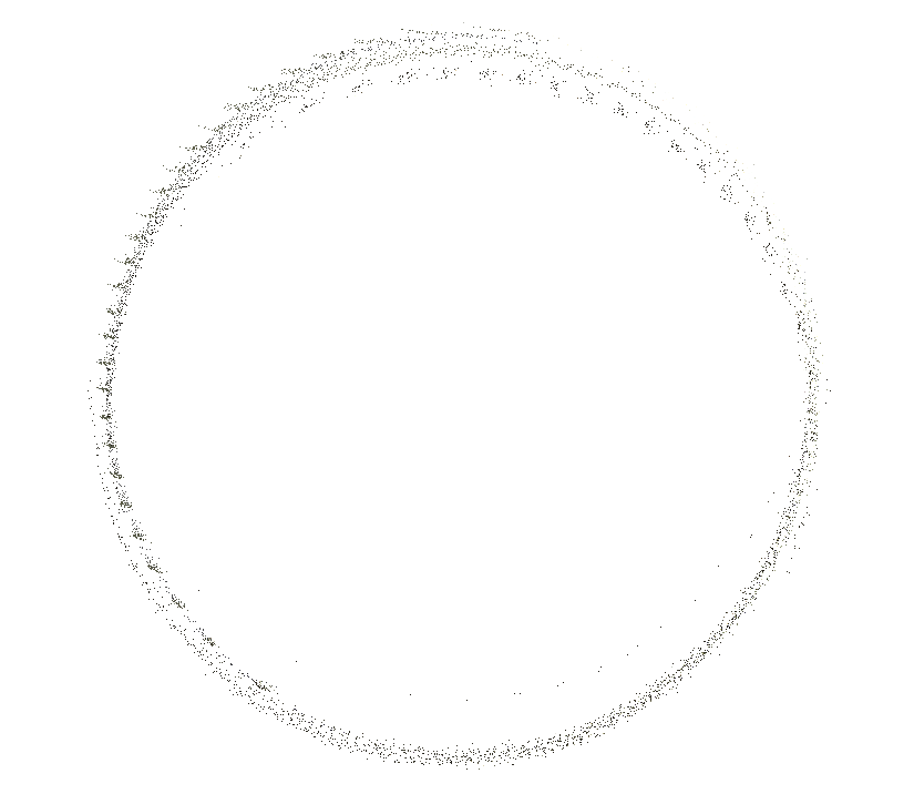
The view above is taken from a medium sized point database of around 4.3 billion points. it contains hundreds of scans registered and georeferenced.
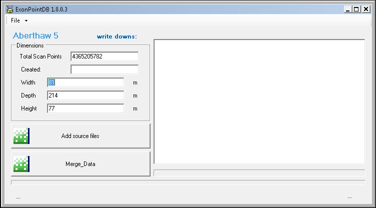
The ExonPointDB application allows us to take .points .pts .xyz and other file formats and turn them into a georeferenced database it is fast and efficient
The ExonpointDB projects its points into AutoCAD where other ExonTech software allows complex geometries to be modelled and recorded on our Model Server. Once here the model really becomes useful and the sky is the limit